


Crystal Basin
Crystal Basin is the northern most portion of the region we assist patrol. The basin is located north of highway 50, west of Desolation Wilderness and to the south of Loon Lake. The basin receives 3-8 feet of snow at the lower elevations.
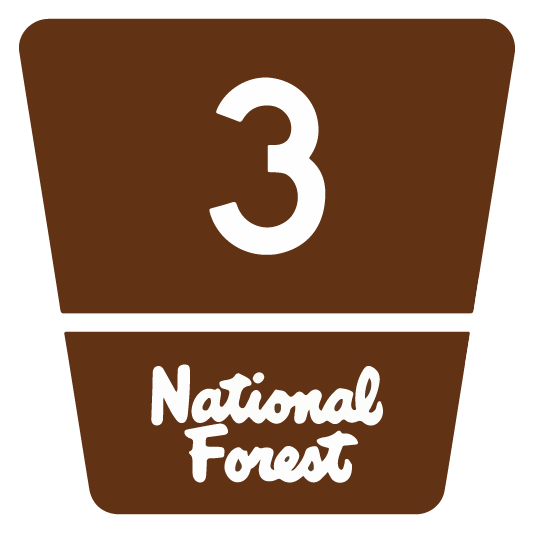
To access Crystal Basin during the winter, Ice House road (NF Rd 3) is located 23 miles east of Placerville along highway 50. During times of snow fall Ice House Rd is maintained for 30 miles to Loon Lake.
There are 3 hike/ski-in cabins within the basin that can be reserved through the Eldorado National Forest.
- Loon Lake Chalet
- Robb’s Hut
- Van Vleck Bunkhouse
Mountain peaks in or near the basin include:
- Tells Peak
- McConnell Peak
- Silver Peak
- Red Peak
- Mount Price
- Pyramid Peak
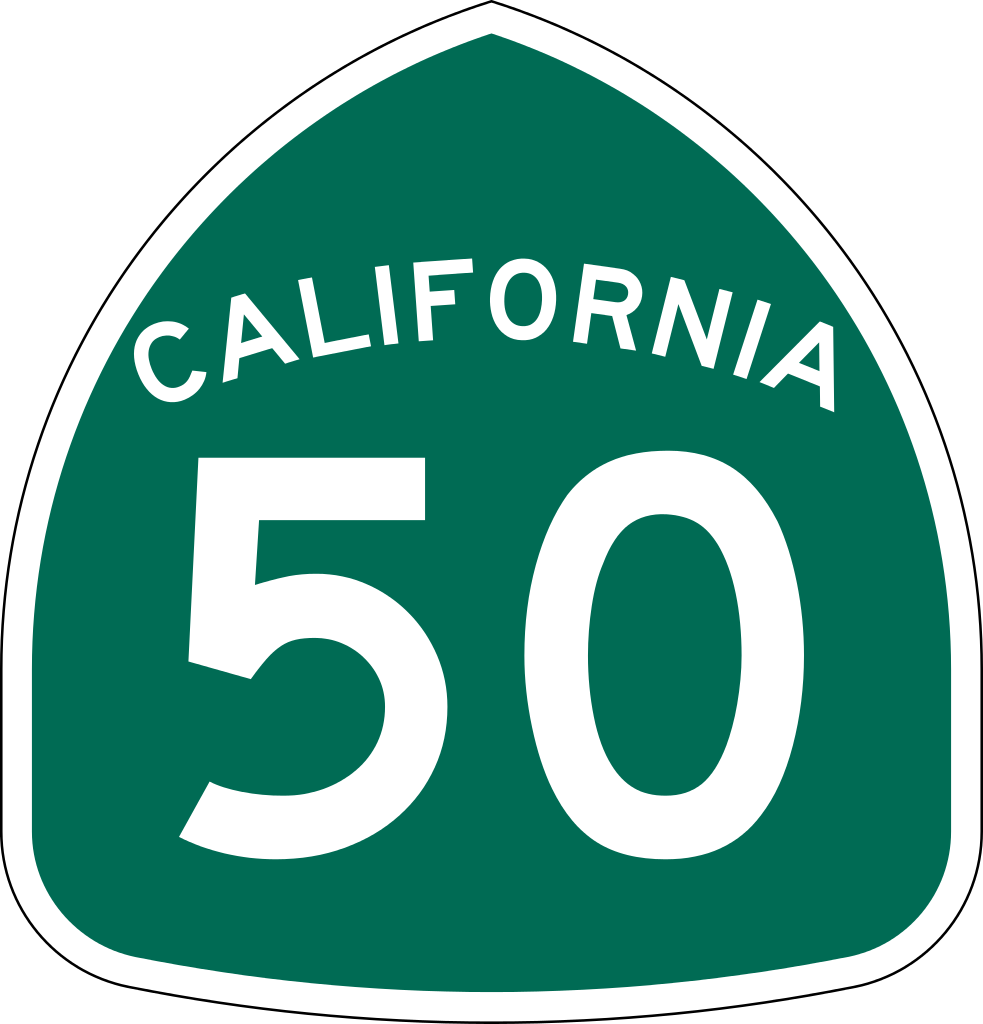
Highway 50 Corridor
The Ski Patrol has marked a number of trails in the Echo Lakes Area. The trails are marked with blue diamonds on the trees. However, as a consequence of the Caldor fire, the trees along the Becker Peak tour were destroyed, along with the blue diamonds.
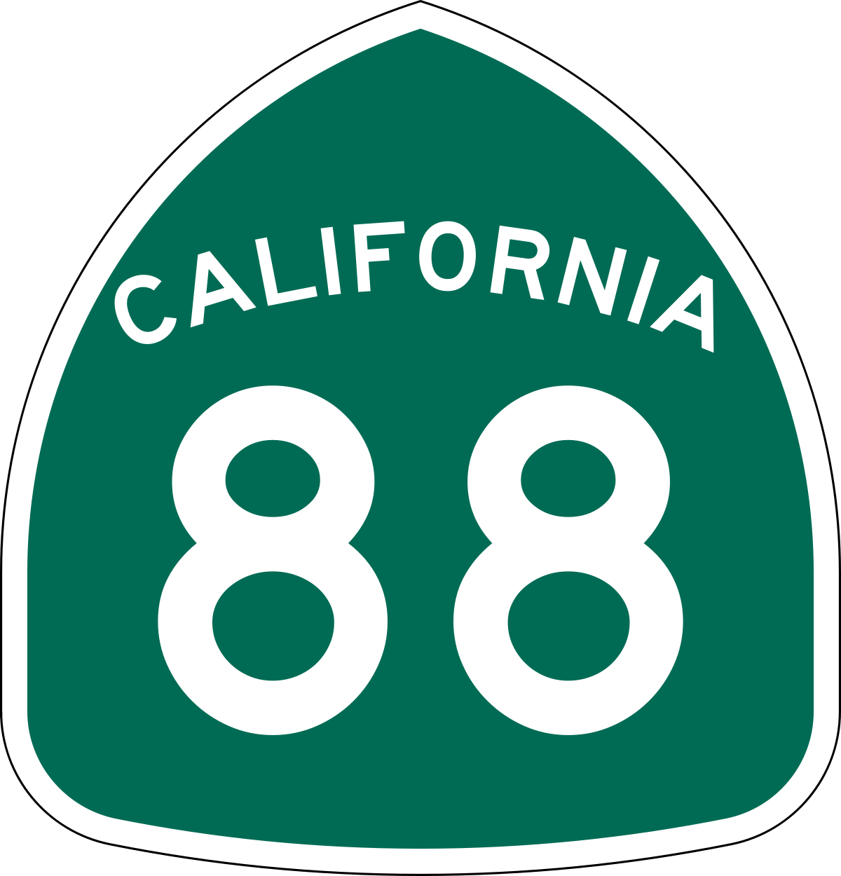
Highway 88 Corridor
The Ski Patrol has marked a number of trails in the Carson Pass Area. The trails are marked with blue diamonds on the trees, until the Mokelumne Wilderness Area in which no blue diamonds are allowed. These trails include:
- Winter route Carson Pass
- SnoPark South to the Wilderness Area boundary.
- Wilderness Boundary Loop
- Woods Lake Route
The U.S. Forest Service has a Recreational Opportunity Guide describing the Winter trails in the area:
Highway 88 ski and snowshoe trails
This document describes the numerous ski & snowshoe opportunities available from Highway 88, starting from the three Sno-Parks:
- Carson Pass
- Meiss
- Iron Mountain.
In addition to trails descriptions & maps, it includes tips on having a fun & safe outing.
Provided here is a link to the various trails mentioned above, and more, courtesy of Ski Tours in the Sierra Nevada